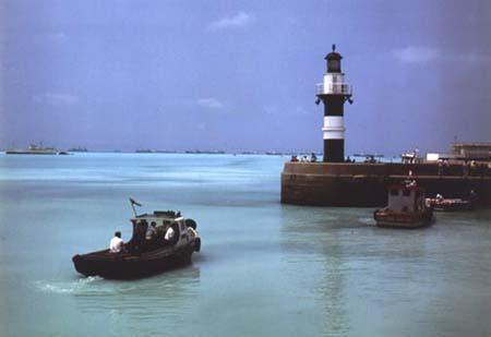
Callao, Lima, Peru
Suggest Place to Visit
4808
Track to location with GPS |
 |
The exact founding date of the city of Callao is unknown. However, this port city appears on the first maps of Peru. On the 1635 map of the cartographer Guiljelmus Blaeuw (1571-1638) it is recorded as “V. Del Callao ”(Villa del Callao) as well as Lima is listed as“ V. Lima ”or“ Los Reyes ”. Due to its proximity to the Peruvian capital, during the Viceroyalty of Peru it was colloquially known as the Port of Lima. According to the indigenous chronicler Felipe Guamán Poma de Ayala, from that time on Callao was the main port, not only of Peru, but of the entire western coast of Latin America.
In 1537 the Spanish Diego Ruiz inaugurated a tambo in the port of Callao. In 1555 the construction of the first Spanish neighborhood began, the following year Viceroy Andrés Hurtado de Mendoza appointed Don Francisco López as the first mayor of the port. The Lima council recognizes him by handing him the stick of justice, a sign of its municipal authority.
However, the first building authority of the port was Cristóbal Garzón, who was "Port Sheriff" having been appointed by the "Mayor of Lima" Juan Astudillo Montenegro.
Due to its quality as the main port of the colonies, it was a permanent target of attacks by pirates and corsairs, as evidence of them is known that in 1579, the English privateer Francis Drake violently attacked the port, and in 1624 the Dutch privateer does the same. Jacobo Clerck nicknamed L'Hermite. Faced with this situation, the government of the metropolis ordered that defense walls of the city be built, which were erected between the years 1634 and 1647. These defensive installations had their culminating point when in October 1747, the construction of the Fortaleza del Real Felipe, whose first stage was completed in 1773.
Villa del Callao. Zoom in on the map ´´Perv: Mar del Zvr´´ by Guiljelmus Blaeuw (1635).
Map of Callao. (1655).
Historical Map (1888). It was only in 1671 that the port of Callao de Lima was elevated to the category of city.
Natural disasters claimed several lives and caused much damage to the port, the biggest natural disasters were, among others, the earthquake of October 28, 1746, which was accompanied by a terrible tidal wave and destroyed the city, decimating its inhabitants. Of five thousand people who lived in Callao, only 200 survived. As a reaction to this disaster and seeking to prevent it from happening again, Viceroy José Antonio Manso de Velasco founded the city of Bellavista, on a plain far from the sea and at a distance three kilometers from the city of Callao. However, that did not cause the chalacos to stop living in the original location on the seafront.
During the war of independence, Callao was a place of great importance, because it not only controlled the traffic of merchandise but also the use of the military fleet, in that sense it changed hands several times, being in the year 1821 that the First capture of the Castillo del Real Felipe by the liberating army under the command of General José de San Martín.
During the republic, the first Constituent Congress had to move from Lima and settle in the Real Felipe Fortress, due to the fact that the royalist troops took the capital city. On October 1 of that same year, 1823, Simón Bolívar arrived in Callao to complete the independence of Peru. After changing hands once more, in 1826 the last Spanish army commanded by General Rodil withdrew from the Real Felipe Fortress.
In a session on March 8, 1834, the National Convention chaired by Javier de Luna Pizarro decorated Callao as "The Faithful and Generous City of Callao, Asylum of Laws and Freedom", as a reward for defending the government of the general Luis José de Orbegoso against the coup claims of General Pedro Bermúdez.
Between 1850 and 1851, the Lima-Callao railway began to operate, the first in South America.
El Callao was a pioneer in the field of urban health and safety, inaugurating in its jurisdiction, on December 5, 1860, the first firefighting company in Peru: the Unión Chalaca Nº 1.
On May 2, 1866, the so-called Combat of May Two was held between the Spanish Navy under the command of Admiral Casto Méndez Núñez and the Peruvian land batteries under the command of the Minister of War José Gálvez (who would die in the meeting and whose name would remain since then linked to the Chalaca tradition) in the framework of the Spanish-South American War.
El Callao is a town full of tradition, religious fervor, lover of sports, which despite having been destroyed by earthquakes and tidal waves in the years 1586, 1678, 1687 and 1746, has risen from its ruins, to become today day, in the first port of Peru and the second most industrialized city in the country.
It is currently the most important naval base in the country and the most important naval shipyard (Servicios Industriales de la Marina -SIMA) are located in this port.
El Callao is a city located in the center-west of Peru. It is located on the shores of the Pacific Ocean to the west of Lima, with which it is conurbation (see: Metropolitan Lima).
Since colonial times, Callao has been the maritime port of the city of Lima, therefore, one of the most important in Peru. Today the main port of the country and the Jorge Chávez International Airport have their facilities, which is why it is the main gateway to Peru.
It is also the name of two different territorial districts, and yet they refer to the same locality: the Constitutional Province of Callao and the District of Callao.
For a long time, Callao was a town annexed to the City of the Kings without official toponymy, so it had no other name than ´´puerto de Lima´´ (Lima referred to the entire valley of the Rímac river, from where the name of the city).
In the old Hispanic maritime language, callao meant "pebble" and "beach with stones" (such as Chalaca beaches) by extension —this usage is still common in the Canary Islands. Towards the beginning of the 17th century, this small urban center already received this name, as evidenced by a 1616 document written by the chronicler Martín de Murúa:
Two leagues from the City of the Kings is its port, called Callao because of the many stones that are in it.
For a long time Callao did not have an established name, although for many years, the natives of Callao are called chalacos. The word chalaco designates all the people who live on the coast, since that word derives from the Quechua word chala (chala, as a natural region of Peru) or, in Spanish, coast. But, in order to standardize a name for the first port of Peru, the Peruvian Academy of Language and the Royal Spanish Academy have established the word Chalaco as a name for Callao.
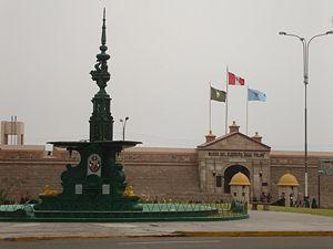
Here you can see the Real Felipe Fortress, which was built in the 18th century to protect itself from the corsairs and pirates who raided this part of the continent. Already in the 19th century, this fortification and Callao played a prominent role in the battles for the independence of Peru. In La Punta outstanding mansions from the early twentieth century are preserved.
In front of Callao there are several islands, the main one being the historic Isla San Lorenzo, the largest island on the Peruvian coast; El Frontón Island, a former prison island; Cavinzas Island, island of guano birds; and the Palomino Islands, where thousands of sea lions live in their natural state, which have made them an important tourist attraction.
There is also the Jorge Chávez International Airport, which is the most important in Peru.
Chucuito Spa [edit] It is a popular spa in Callao. Its most beautiful beach is Playa de la Ribera, it has other beaches; one of them, ´´El Carpallo´´ and also has a group of buildings called ´´La Residencial Chucuito´´.
San Lorenzo Island [edit] It is an island of crystalline waters formed by hills and very beautiful beaches with desert characteristics.
The back of the island cannot be seen visually from La Punta, but when approaching by sea many sea lions can be seen.
Part of the island is controlled by the Peruvian Navy and is a military zone; other areas are declared as national archaeological and / or historical heritage; In them there are vestiges of pre-Inca cultures, pirate burials such as the Dutchman Jacques L'Hermite and vestiges of the naval blockade of Callao from April 10, 1880 to January 17, 1881, by the squad Chilean during the War of the Pacific.
Comments
We don´t have yet any comments about:
Port of Callao
Port of Callao
Be the first to leave a comment as it is very important to inform other people
Outros locais a visitar
Within a radius of 20 km from:Port of Callao
Mutterkirche oder Kathedrale von Callao |
| 0,6 Km |
 |
Fortaleza Real Felipe |
| 1,0 Km |
 |
Archäologisches Ensemble von Oquendo |
| 2,4 Km |
 |
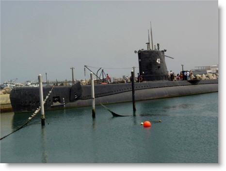
Abtao Submarine Naval Site Museum |
| 3,0 Km |
 |
Paseo los Libertadores |
| 4,5 Km |
 |
Leyendas Park |
| 5,9 Km |
 |
Archäologisches Museum Rafael Larco Herrera |
| 7,7 Km |
 |
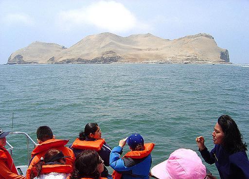
Fronton Island |
| 7,8 Km |
 |
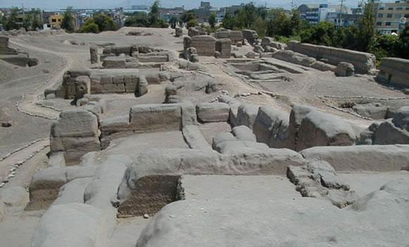
Huaca Mateo Salado |
| 8,5 Km |
 |
La Taberna Queirolo |
| 8,6 Km |
 |
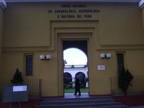
Nationalmuseum für Anthropologie, Archäologie und Geschichte. |
| 8,7 Km |
 |
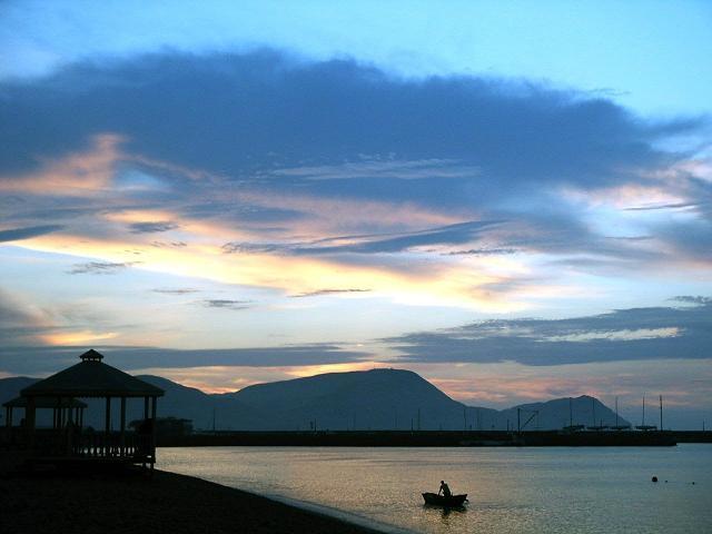
San Lorenzo Insel |
| 10,4 Km |
 |
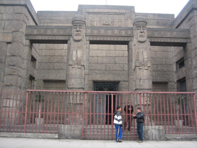
Peruanisches Kulturmuseum |
| 10,7 Km |
 |
Kirche der Nazarener |
| 11,3 Km |
 |
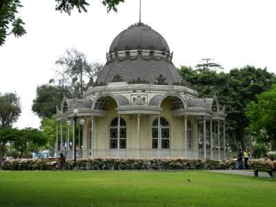
Parque de la Exposición |
| 11,3 Km |
 |
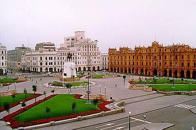
San Martin Platz |
| 11,5 Km |
 |
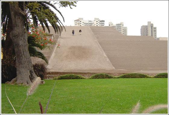
Huaca Huallamarca |
| 11,6 Km |
 |
Circuito Mágico del Agua - Parque de la Reserva - Lima Perú |
| 11,7 Km |
 |
Kirche und Kloster Unserer Lieben Frau der Barmherzigkeit |
| 11,8 Km |
 |
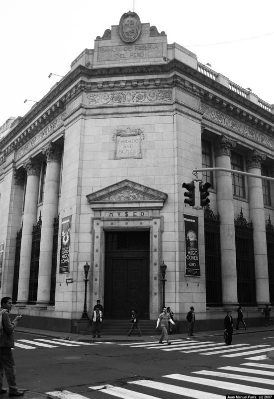
Museo Banco Wiese |
| 11,8 Km |
 |
Casona de San Marcos |
| 11,9 Km |
 |
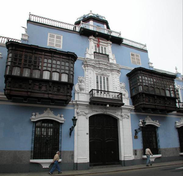
Casa Oquendo o Palacio Osambela |
| 11,9 Km |
 |
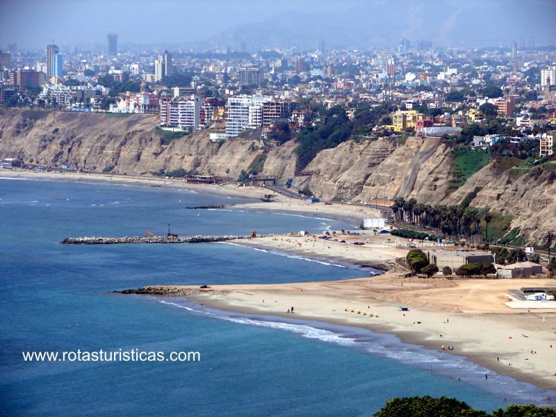
Stadt von Lima (Peru) |
| 11,9 Km |
 |
Santo Domingo Kirche und Kloster |
| 11,9 Km |
 |
Casa Aliaga |
| 12,0 Km |
 |
Hauptplatz von Lima |
| 12,0 Km |
 |
Quinta de Presa |
| 12,0 Km |
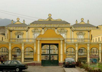 |
Lima - Stadtrundfahrt |
| 12,0 Km |
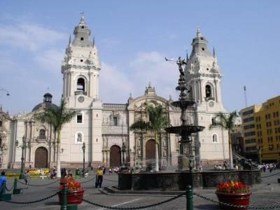 |
Zentrales Reserve Bank Museum |
| 12,0 Km |
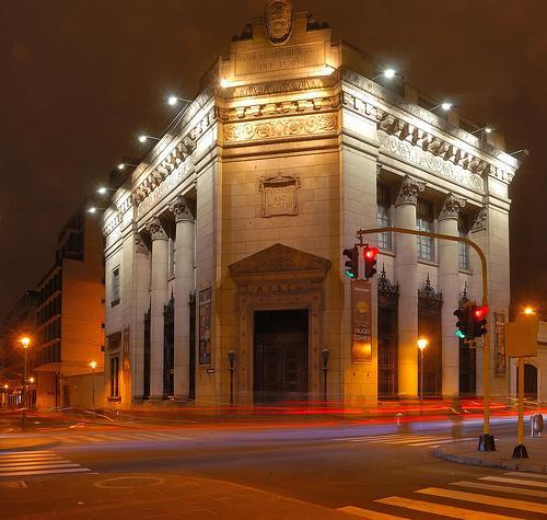 |
Basilika Kathedrale von Lima |
| 12,1 Km |
 |
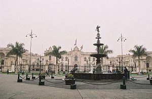
Regierungspalast von Peru |
| 12,1 Km |
 |
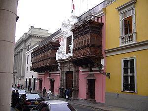
Palacio de Torre Tagle |
| 12,1 Km |
 |
Haus von Oidor |
| 12,1 Km |
 |
Rimac Steinbrücke |
| 12,2 Km |
 |
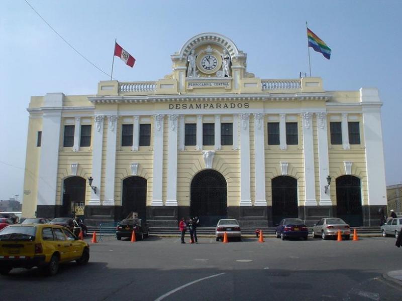
Desamparados Station |
| 12,2 Km |
 |
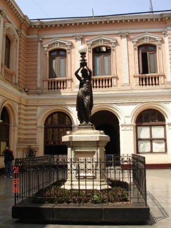
Amano Museum |
| 12,3 Km |
 |
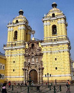
Basilika und Kloster des Heiligen Franziskus von Lima |
| 12,4 Km |
 |
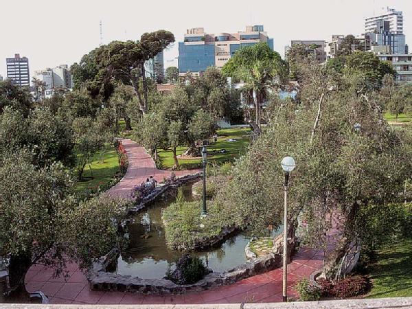
Olivenhain von San Isidro |
| 12,4 Km |
 |
Museum des Hofes der Heiligen Inquisition und des Kongresses |
| 12,5 Km |
 |
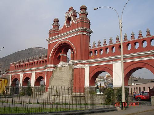
Parque de la Muralla |
| 12,5 Km |
 |
Wasserlauf |
| 12,7 Km |
 |
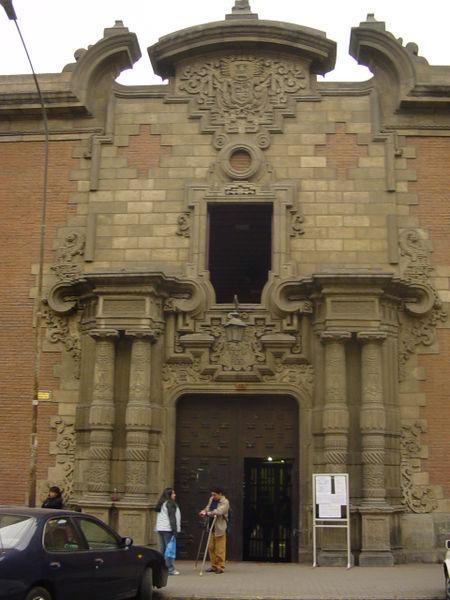
Nationale Schule der Schönen Künste |
| 12,7 Km |
 |
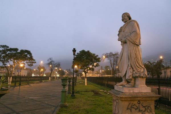
Alameda de los Descalzos |
| 12,7 Km |
 |
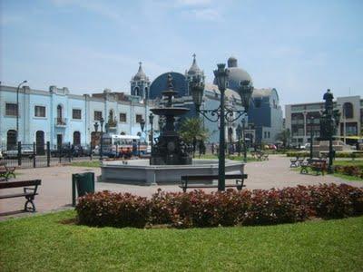
Plaza Italia |
| 12,8 Km |
 |
Barfußklostermuseum |
| 12,9 Km |
 |
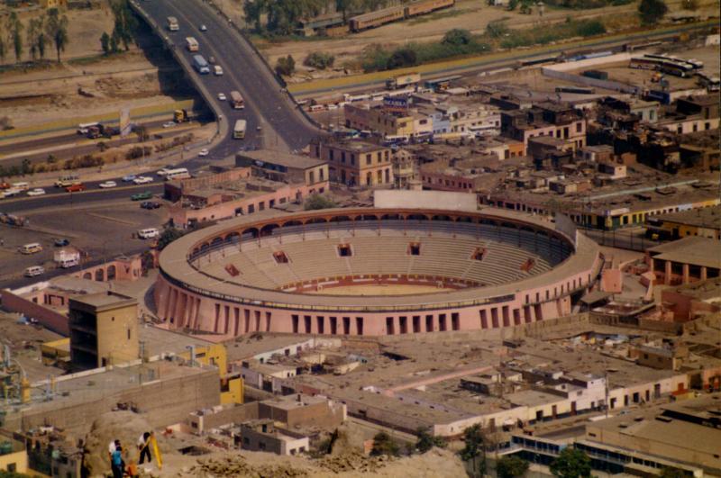
Toros Square von denke ich |
| 12,9 Km |
 |
Huaca Pucllana |
| 12,9 Km |
 |
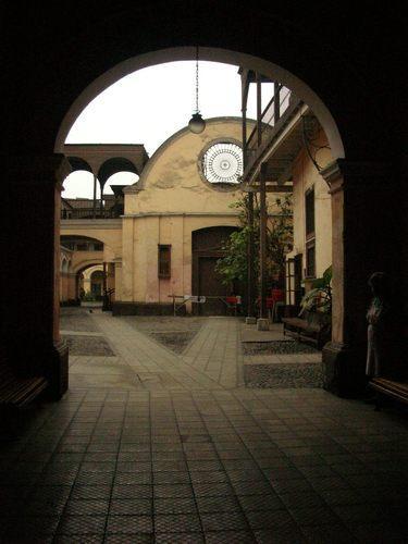
Hospiz Ruiz Dávila |
| 13,0 Km |
 |
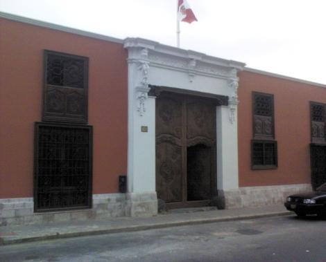
Haus 13 Münzen |
| 13,0 Km |
 |
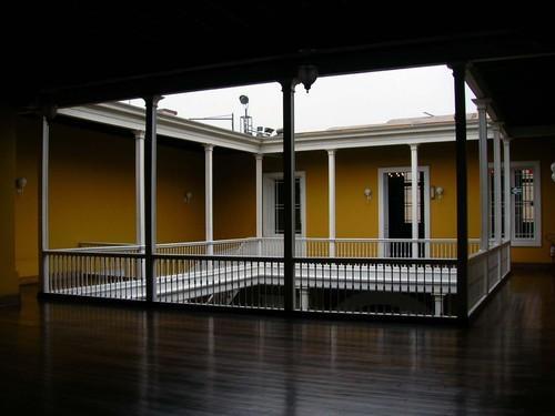
Canevaro Haus |
| 13,5 Km |
 |
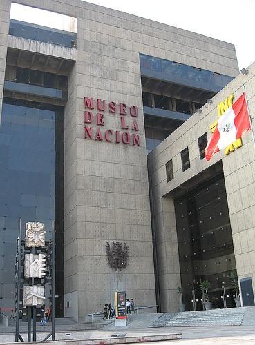
Nationalmuseum |
| 15,3 Km |
 |
Barranco, el Distrito Bohemio |
| 15,8 Km |
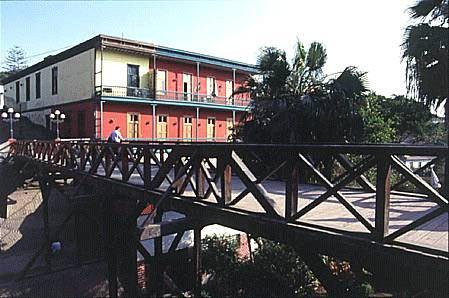 |
Seufzerbrücke |
| 16,2 Km |
 |
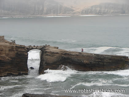
El Salto del Fraile (Lima) |
| 16,3 Km |
 |
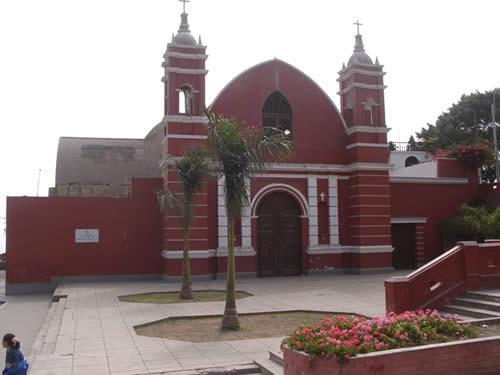
Ermita del Padre Villalta - Barranco |
| 16,4 Km |
 |
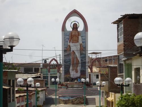
Jerusalem gehen |
| 18,2 Km |
 |
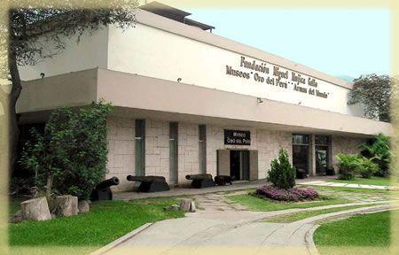
Goldmuseum von Peru und Waffen der Welt |
| 18,8 Km |
 |
Freundschaftspark |
| 19,0 Km |
 |
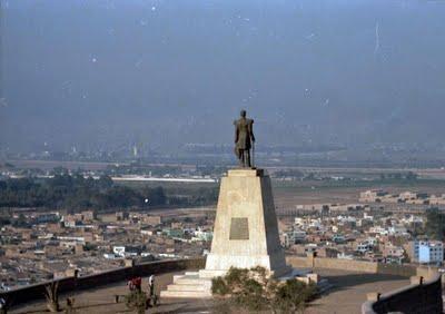
Morro Solar |
| 19,6 Km |
 |
Hotel reservation near Port of Callao within a radius of 20 km
Why to book with TOURISTISCHE ROUTEN
The best prices
Our partnerships with the world´s largest operators offer research on the best market prices.
More options
At Rotas Turisticos you can book the hotel, buy the air ticket, book the transfer from the airport to the hotel and vice versa, book the local excursions, rent the car, take travel insurance and consult the places to visit and where to go.
Holiday Tips & Destinations
Hundreds of holiday destinations with all the options that allow you to easily choose the destination that best suits your dream vacation.
TOURISTISCHE ROUTEN
Links


