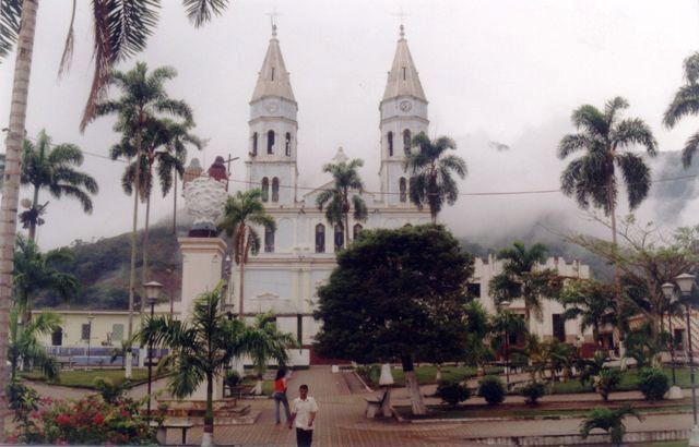
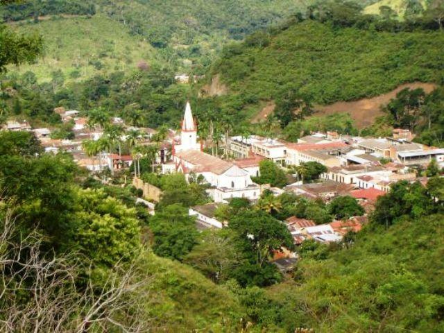
Arboledas, Norte de Santander, Colombia
Suggest Place to Visit
901
Track to location with GPS |
 |
His experiences have been going on since 1756, when Captain Diego de Montes, fulfilling an order from his boss Alonso Esteban Rangel, arrived at these broken stands in the company of his subordinates and settled in the middle of the four mountains that run around La Arboleda. ´´. Historians point out that from this site they have brought the strategies of combat against the ferocious Chitaremos, who set the region and obey the brave chief Cínera.
It is not known exactly who the first settlers were, but the tradition is similar to that of Ignacio Pajes, Joaquín Fuentes, Manuel Angarita, José Ignacio Ramos and Antonio Laguado. More attached to ´´Las Arboledas´´, Trinidad Contreras, the brothers Raimundo and Federico Cárdenas, Pedro Pulido, Rafael Morales David Lizarazo and Joaquín Silva.
Until 1760, Arboledas belonged to the coadjutor del Chopo doctrine (today Pamplonita), then it became part of Cucutilla, it has been taking the arboledanos to seize Francisco Fernández de Cáceres to manage the creation of the parish.
The gestures ended with their creation, taking place at the inauguration on December 8, 1804, under the invocation of the Holy Trinity and naming the elderly Anselmo García as the first parish priest, who was transferred from Cucutilla to where his ministry was.
It was created as a municipality in 1835. Ordinance Number 57 of 1918 delimited Arboledas and Cucutilla.
Full name: Arboledas
Foundation: December 8, 1804
Founder: Diego de Montes
Population: 2005 DANE Census: 9,270 inhabitants.
Altitude: 946 meters above sea level.
Extension: 456 Km2
Climate: 22 degrees C.
Distance to Cúcuta: 82 Km
Geographic coordinates: Longitude west of Greenwich 73º 21´, North latitude 8º 28´
Limits: North: Salazar de las Palmas,
South: Cucutilla,
East: Bochalema and Durania
West: department of Cáchira and Santander.
Administrative Division: Composed of 4 townships and 14 villages
Rivers: Arboledas, Zulia and the streams: Ventanas, Bagueche, Castro, San Antonio, Sulazquilla.
Center Region
Economy:
Agricultural production such as coffee.
Cattle, pig and poultry livestock production.
Parties:
Divine child
Holy Trinity
Creativity fair
Tourist sites:
The gaps
Great broken road
El mirador waterfall
La Hostería Pool
Monument to Santa Cruz
Comments
We don´t have yet any comments about:
Groves
Groves
Be the first to leave a comment as it is very important to inform other people
Outros locais a visitar
Within a radius of 20 km from:Groves
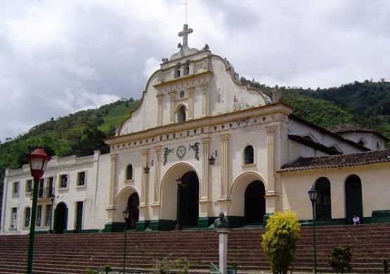
Cucutilla Stadt |
| 11,8 Km |
 |
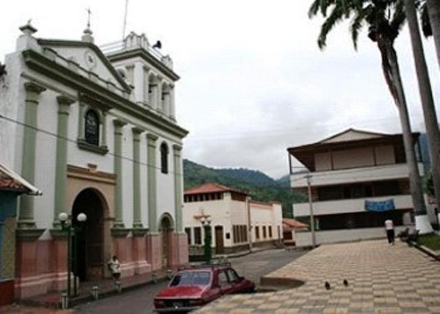
Salazar de las Palmas |
| 14,8 Km |
 |
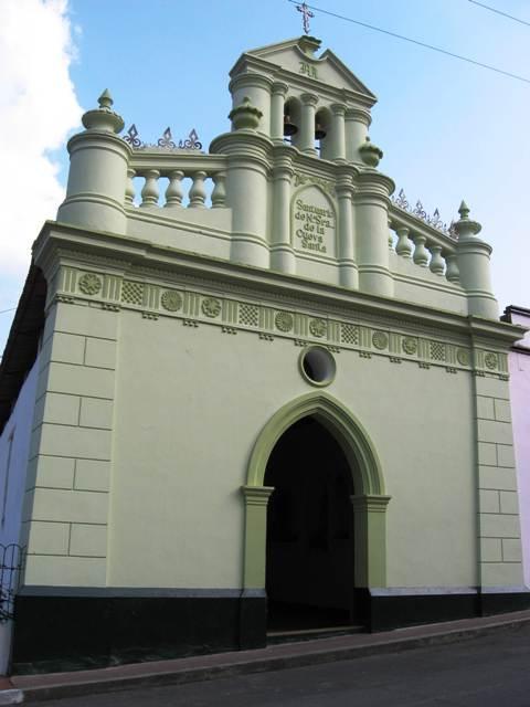
Bochalema |
| 17,2 Km |
 |
Durania |
| 17,6 Km |
 |
Hotel reservation near Groves within a radius of 20 km
No results
Why to book with TOURISTISCHE ROUTEN
The best prices
Our partnerships with the world´s largest operators offer research on the best market prices.
More options
At Rotas Turisticos you can book the hotel, buy the air ticket, book the transfer from the airport to the hotel and vice versa, book the local excursions, rent the car, take travel insurance and consult the places to visit and where to go.
Holiday Tips & Destinations
Hundreds of holiday destinations with all the options that allow you to easily choose the destination that best suits your dream vacation.
TOURISTISCHE ROUTEN
Links


