La Estrella, Antioquia, Colombia
Suggest Place to Visit
2713
Track to location with GPS |
 |
The origin of La Estrella is based on the desire of the Anaconas Indians, the last survivors of the indigenous people who populated the Aburrá valley, to be awarded lands to cultivate them, without being bothered by the whites. To achieve this, they petitioned the governor of the province in 1682. The petitioners said: ´´ ... we find ourselves bothered by one and the other landowners and lost, unable to work with the insurance that our work is permanent and May our children enjoy it ... ´´ and they pointed out as the most appropriate place ´´the lands they call Viticua and they are in this jurisdiction´´. By decree of August 22, 1685, the governor of the province of Antioquia, Mr. Francisco Carrillo de Albornoz, commissioned Mr. José Vásquez Romero, acting bailiff of the Villa de La Candelaria (Medellín) to visit the lands indicated by the Anaconas and the next day from ´´Guitagüí´´ reported on the convenience of founding a population to group the dispersed indigenous people. Mr. Juan de Piedrahíta y Saavedra, like Vásquez Romero, and as attorney general of Villa de la Candelaria, also gave a favorable report to the project. Don Juan Zapata y Muñera and the bachelor Esteban Jaramillo de Andrade wanted to oppose it, as well as the heirs of Diego Muñoz.
A register or census of the applicants to said lands was drawn up and on September 4, 1685, Governor Carrillo issued the founding decree that reads: ´´I have had for the good of both majesties and good of the public cause, to reduce and congregate said Anaconas Indians to the population and for this, by virtue of the faculty and real powers that I have of course: I build and create a town, with the name of Our Lady of La Estrella ... ´´ Two days later Diego Antonio de la Cruz, captain of the natives and Eusebio Jiménez, an Indian, took possession of the lands on the site the ´´Sabanetas´´ and ´´who, as a sign that they were taking possession, uprooted grass, cut branches, they walked and made demonstrations… ´´.
The Anaconas were indigenous with a high standard of living, since unlike others who lived half naked, these were completely dressed in long cotton robes. Once they had taken possession of the lands, it was up to Don Diego Antonio de la Cruz, Captain of the Anaconas Indians and Pedro de Ibarra, their Mayor, to carry out the first census of the Anaconas Indians for the foundation of La Estrella.
By 1808 La Estrella had forty straw houses, a tile and brick house with a church made of the same materials, with about 150 families and a total of 620 Indians and eight slaves.
The population of La Estrella was under the jurisdiction of Medellín, until it was erected as a municipality in 1833.
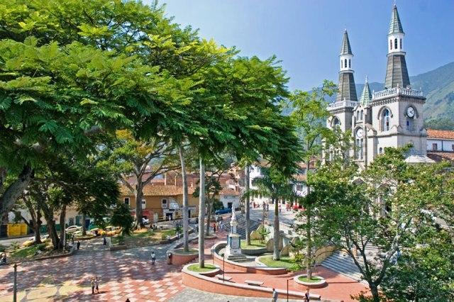
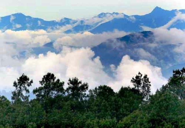
La Estrella is today a municipality of great cultural development. Its park, built in decline due to the conditions of the topography of the area, is welcoming. Its main attractions are rural, despite having a basically urban development. Its streams, waterfalls and above all the ecological reserve El Romeral, are the places that arouse the highest interest of visitors.
As of 2007, La Estrella is receiving strong urban development, both in roads and in private commercial buildings, especially warehouses. Also in its vicinity will be built a new Transportation Terminal that will serve the entire south of the Aburrá Valley.
La Estrella is a municipality of Colombia, located in the Aburrá Valley of the Antioquia department. It limits to the north with the municipalities of Medellín and Itagüí, to the east with the municipalities of Itagüí, Envigado and Sabaneta, to the south with the municipality of Caldas, and to the west with the municipality of Angelópolis.
La Estrella is known as the Green Municipality. Its name was given to it during its foundation, to honor the Toledo city (in Spain) of La Estrella.
La Estrella is located south of the Aburrá Valley, this municipality is part of the conurbation process of the metropolitan area, and is located at a distance of 16 kilometers from the city of Medellín, at coordinates 6 ° 09´ 30´´ de North latitude and 75 ° 38´ 24´´ longitude west of Greenwich. The municipality has 35 km² of area, of which 3.68 km² correspond to the urban area and 31.32 km² to the rural area.
The headland has an average temperature of 20 ° C and an approximate height of 1,775 meters above sea level. The maximum height is represented by the Alto El Romeral at 2,800 meters above sea level, which is located in the El Romeral Ecological and Forest Reserve, which includes the municipalities of Medellín (San Antonio de Prado), Caldas, Amagá, Heliconia, Angelópolis and La Estrella, which covers a total area of 5,171 hectares, of which 1,128 correspond to La Estrella. Other higher elevations are: Los Altos Cerros de La Piedra, Gallinazos, El Guayabo, La Culebra and Pan de Azúcar, in addition to the Miraflores Reserve.
The Metropolitan Area of the Aburrá Valley is a political-administrative entity that is located throughout the Aburrá Valley at an average altitude of 1,538 meters above sea level.
The Area is made up of 10 municipalities, and is crossed from south to north by the Medellín River which, originating to the south of it in the municipality of Caldas, and in the north, in the municipality of Barbosa, takes the name of Río Porce.
It was the first Metropolitan Area created in Colombia in 1980, and it is the second Metropolitan Area in population in the country after the Capital District of Bogotá. The total population, which adds the urban and rural population of the ten cities, is 3,312,165 inhabitants.
The main urban area of the Metropolitan Area of the Aburrá Valley is located in the center of the Valley and is made up of the four largest cities by number of inhabitants: Medellín, Bello, Itagüí and Envigado.
Economy
Manufacturing industry
farming
Construction Industry.
Media
In the Municipality of La Estrella, practically all possible telecommunications services are available, from public telephones, through mobile telephone networks, wireless broadband networks, navigation centers or Internet cafes, IP communication, etc.
The main company in this sector is EPM Telecomunicaciones, (under its UNE brand), recently separated from its parent company Empresas Públicas de Medellín (EPM); Also present are the Bogotá Telecommunications Company (ETB), TELMEX and Telefónica's Telecom.
There are three mobile phone operators all with national coverage and with GSM technology, Comcel de América Móvil; Movistar from Telefónica, and Tigo from ETB, EPM Telecomunicaciones and Millicom International from Luxembourg. The Avantel company also works in the municipality offering the trunking service, which is done through a hybrid device between cell phone and radio.
The municipality has several open signal television channels, the 3 local channels Telemedellín, Canal U and Televida, (which cover the Aburrá Valley), a regional channel Teleantioquia, and the five national channels: the 2 private Caracol and RCN , and the 3 public Channel One, Institutional Signal and Colombia Signal. Subscription television companies offer their own channels.
The town has a wide variety of AM and FM stations, both with local and national coverage, of which most are managed by Caracol Radio or RCN Radio, although there are other independent stations with great tuning, such as Todelar and Super.
Two important newspapers circulate in La Estrella and in the rest of Antioquia: El Colombiano and El Mundo, both with a long history in the regional sphere. The national newspaper El Tiempo also circulates.
Public transport
Buses. There is a private urban bus system in the town that serves all sectors of the municipality and there are also routes that communicate to La Estrella and Medellín. Additionally, there is the "integrated transportation system" which consists of buses that connect the last station of the Medellín Metro (Itagüí) with the different areas of the municipality.
Taxis. There are numerous taxi companies that cover the entire metropolitan area, and among them there are some with bilingual services in English. The taxi ordering service by phone is the most common and safe. Some companies provide intercity services. The collective taxi service is also usual; some of these groups can be comfortable and fast, although they are usually subject to full capacity.
Gastronomy
As a specialty, cheeses and guavas
All kinds of traditional paisa food and roasts.
Parties
Metal festivals
Holy Week
Water Festival in June, the first holiday bridge
Fiesta de El Romeral, August 27 to September 05. This is the most recognized festival or celebration in the municipality
Patron Saint Festivities Our Lady of the Rosary of Chiquinquirá
Fiestas del Fuego, in December.
Places of interest
Minor Basilica of Our Lady of the Rosary of Chiquinquirá, (patron saint of Colombia)
Los Grillos Recreational Center - COMFAMA
El Romeral ecological park
Alto del Romeral lagoon.
Comments
We don´t have yet any comments about:
The star
The star
Be the first to leave a comment as it is very important to inform other people
Outros locais a visitar
Within a radius of 20 km from:The star
Itagüí |
| 5,3 Km |
 |
Caldas |
| 9,1 Km |
 |
Envigado |
| 10,3 Km |
 |
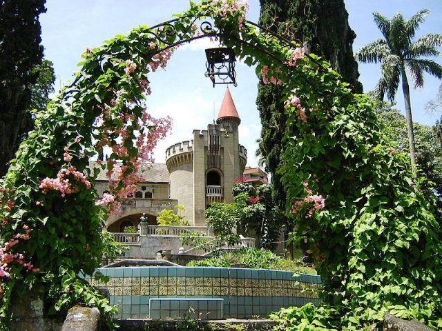
Schlossmuseum |
| 10,5 Km |
 |
Aeroparque Parque Juan Pablo ii |
| 10,6 Km |
 |
Nutibara Hill |
| 12,3 Km |
 |
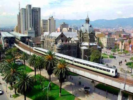
Medellin |
| 12,7 Km |
 |
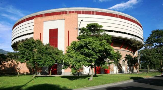
Unterhaltungszentrum La Macarena |
| 13,2 Km |
 |
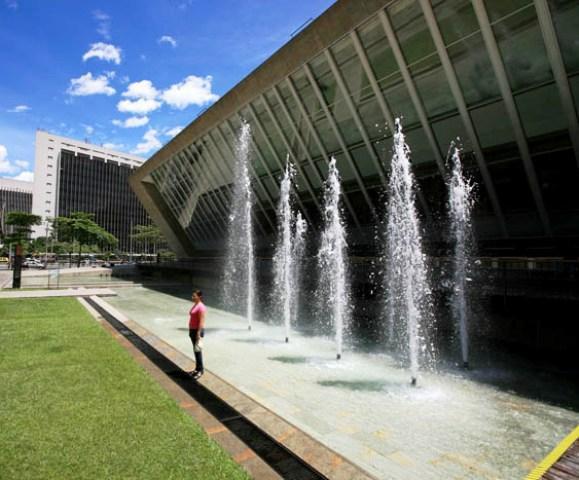
Epm Bibliothek |
| 13,5 Km |
 |
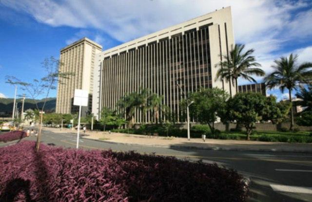
Verwaltungszentrum La Alpujarra «José María Córdova» |
| 13,6 Km |
 |
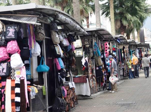
Boulevard Artesanal San Antonio |
| 14,0 Km |
 |
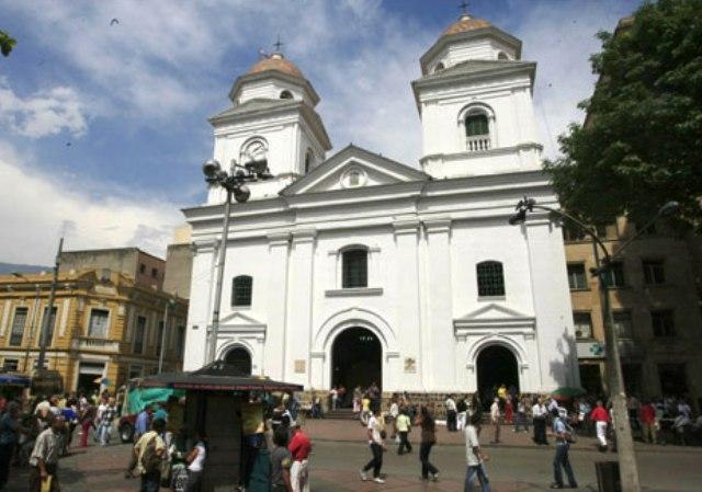
Basilika Unserer Lieben Frau von Candelaria |
| 14,3 Km |
 |
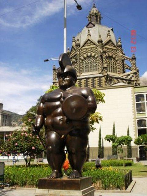
Botero-Platz |
| 14,4 Km |
 |
Strandclub |
| 14,5 Km |
 |
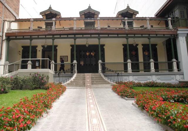
Casa Barrientos - Haus der Kinderlesung |
| 14,6 Km |
 |
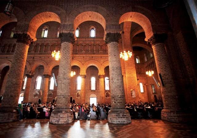
Metropolitan Basilica Kathedrale |
| 14,9 Km |
 |
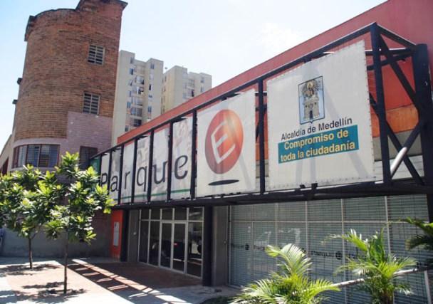
Entwicklungspark |
| 15,4 Km |
 |
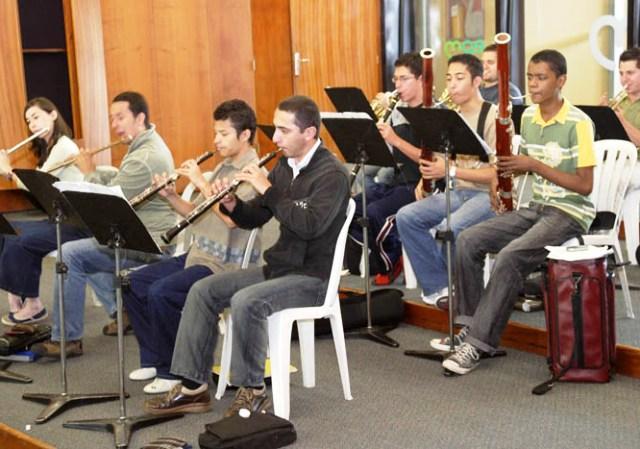
House Musik |
| 15,9 Km |
 |
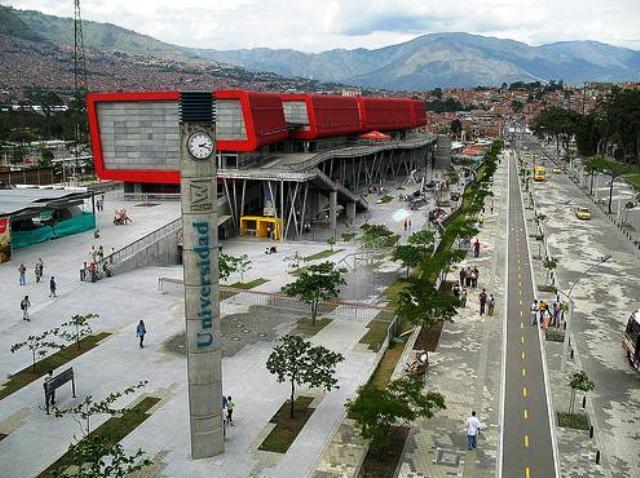
Park Explora |
| 16,0 Km |
 |
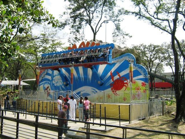
North Park |
| 16,0 Km |
 |
Medellin Aquarium |
| 16,1 Km |
 |
Entdecken Sie den Aquarium Park |
| 16,2 Km |
 |
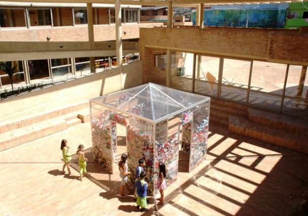
Mährisches Kulturentwicklungszentrum |
| 16,7 Km |
 |
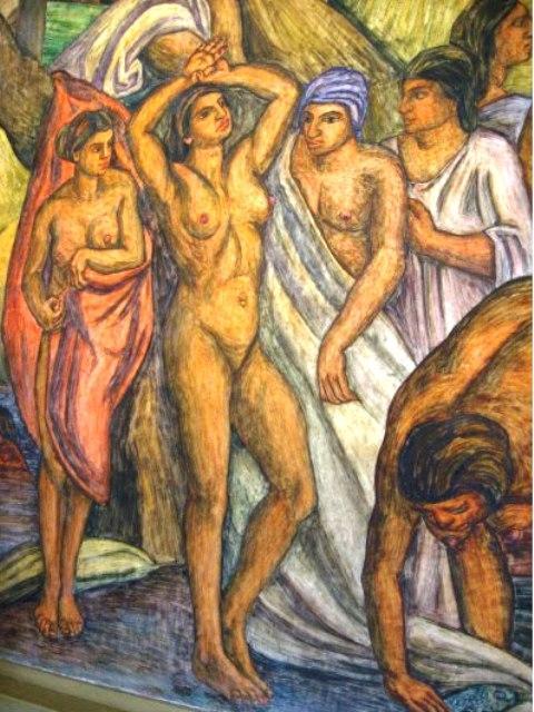
Pedro Nel Gómez Hausmuseum |
| 16,8 Km |
 |
Arvi Park |
| 18,9 Km |
 |
Hotel reservation near The star within a radius of 20 km
Why to book with TOURISTISCHE ROUTEN
The best prices
Our partnerships with the world´s largest operators offer research on the best market prices.
More options
At Rotas Turisticos you can book the hotel, buy the air ticket, book the transfer from the airport to the hotel and vice versa, book the local excursions, rent the car, take travel insurance and consult the places to visit and where to go.
Holiday Tips & Destinations
Hundreds of holiday destinations with all the options that allow you to easily choose the destination that best suits your dream vacation.
TOURISTISCHE ROUTEN
Links


