Punta Arenas, Magalhães, Chile
Suggest Place to Visit
5330
Track to location with GPS |
 |
At the beginning of the nascent Punta Arenas, the hill marked the peripheral limit towards the west and some seeds of potatoes and oats were scattered for which it was called Cerro de las Siembras. The same place was an escape passage for those who lived through the Cambiazo (1851) and Artilleros (1877) riots, but its appearance acquired a special image in 1881 when the priest Rafael Eyzaguirre installed a cross as a testimonial symbol for the term of a Christian mission in this isolated southern area.
As of January 1, 1897, the Cerro de las Siembras changed its name to Cerro de la Cruz when, the date on which the priest Mayorino Borgatello blessed the new cross. In 1931 there were rumors that the municipality would replace the crucifix, but the mayor of the time, Juan Yáñez, said he was convinced that without its special distinctive, the hill would be a summit without a soul.
Twelfth region, in Punta Arenas.
8 kms. from the city.
Punta Arenas is located 3,090 km from Santiago de Chile and 2,286 km from Puerto Montt. You can get:
By plane
There are daily frequencies from Santiago de Chile airport in 3 and a half hours of flight, and from Puerto Montt that you should consult.
By car
To get there by car, you must continue from Santiago de Chile on Route 5 South to Osorno where you must cross the Cardenal Samoré Border Crossing to the Argentine Republic, which will take you to the Patagonian sector. Take the Chilean road through Puerto Natales.
Boat
There are frequencies from Puerto Montt that you can consult.
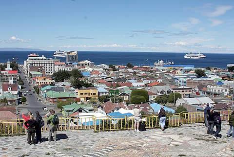
From the top of the hill there is a panoramic view of the city, with its red, blue and yellow roofs and its streets that descend steeply until reaching the Strait. On the horizon you can see Tierra del Fuego, Monte Sarmiento and the southern area of the Brunswick peninsula. In the foreground are the remains of old sailing ships that have run aground there since time immemorial.
Going down Calle Señoret to Avenida Colón, and then turning left, you will find a cobbled path dating from the time of colonization. Going up just over two blocks, this street reaches the top of the northern sector of Cerro de la Cruz, from where you can see the other half of the city. You can see the industrial sector, the Horticultural District, the Free Zone; to the immediate left is the skating pond. In the distance you can see the ski slopes, which descend like open furrows from the Cerro Mirador forest.
Comments
We don´t have yet any comments about:
Hill of the Cross
Hill of the Cross
Be the first to leave a comment as it is very important to inform other people
Outros locais a visitar
Within a radius of 20 km from:Hill of the Cross
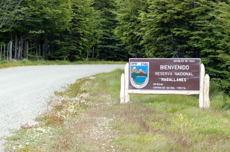
Magallanes Nationalreservat (Punta Arenas) |
| 3,0 Km |
 |
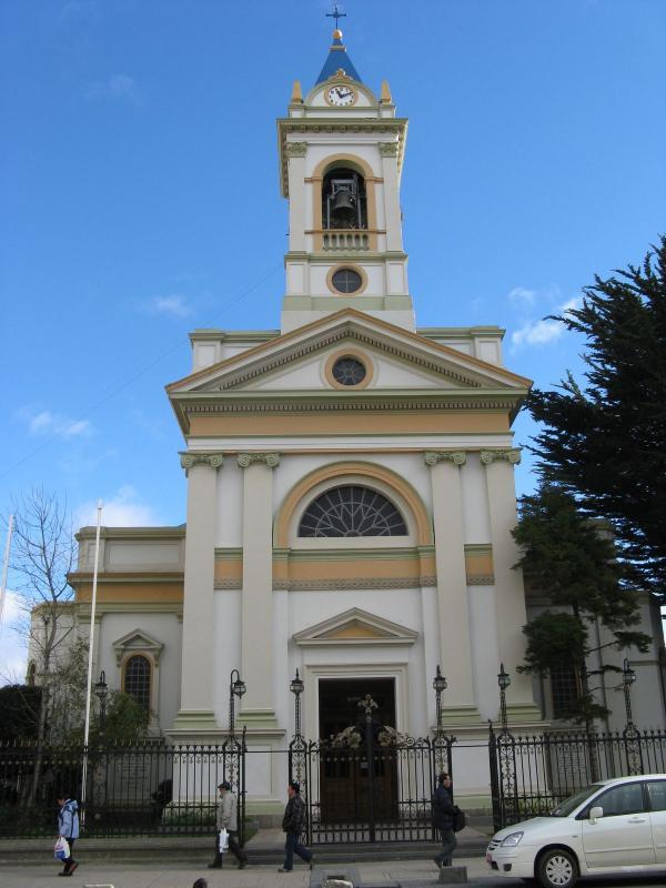
Kirche der Salesianer (Punta Arenas) |
| 9,1 Km |
 |
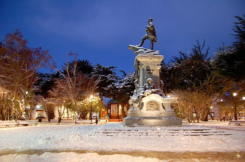
Muñoz Gamero Platz |
| 9,2 Km |
 |
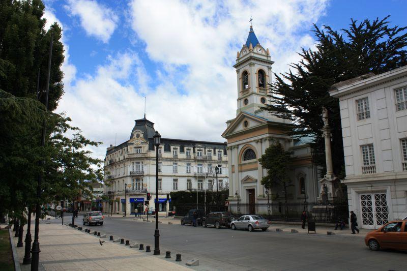
Punta Arenas Informacion General |
| 9,3 Km |
 |
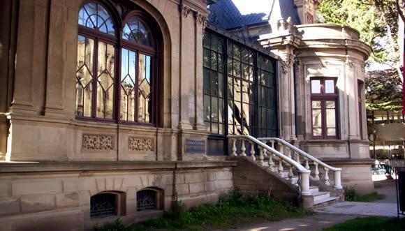
Regionalmuseum Braun Menéndez (Punta Arenas) |
| 9,3 Km |
 |
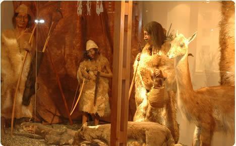
Regionales Salesianermuseum Maggiorino Borgatello (Punta Arenas) |
| 9,6 Km |
 |
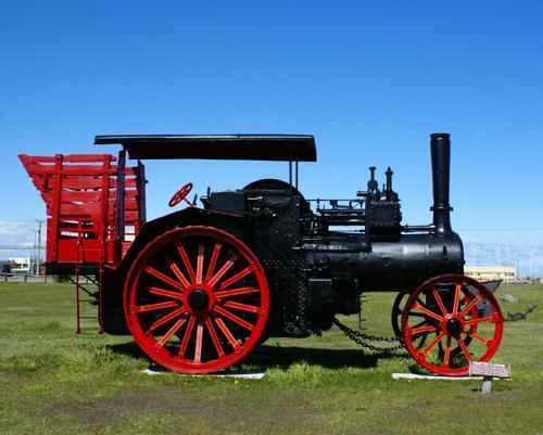
Patagonia Institute |
| 11,2 Km |
 |
Hotel reservation near Hill of the Cross within a radius of 20 km
Why to book with TOURISTISCHE ROUTEN
The best prices
Our partnerships with the world´s largest operators offer research on the best market prices.
More options
At Rotas Turisticos you can book the hotel, buy the air ticket, book the transfer from the airport to the hotel and vice versa, book the local excursions, rent the car, take travel insurance and consult the places to visit and where to go.
Holiday Tips & Destinations
Hundreds of holiday destinations with all the options that allow you to easily choose the destination that best suits your dream vacation.
TOURISTISCHE ROUTEN
Links


